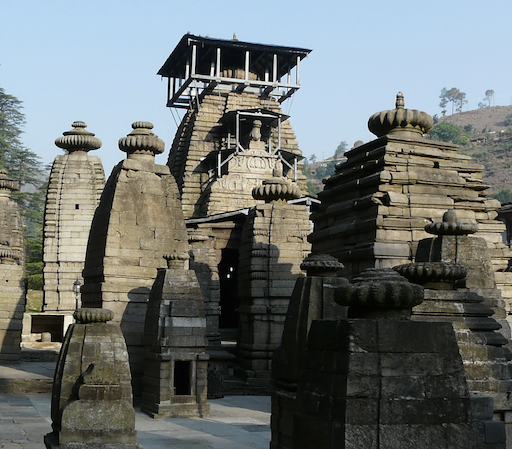
Kumaon Uttarakhand
Kumaon (/ˈkɛmɔːʊ/; Kumaoni: Kumāū; pronounced [kuːmɔːʊ]; historically romanized as Kemāon[6][7]) is a revenue and administrative division in the Indian State of Uttarakhand. It spans over the eastern half of the state and is bounded on the north by Tibet, on the east by Nepal, on the south by the state of Uttar Pradesh, and on the west by Garhwal. Kumaon comprises six districts of the state: Almora, Bageshwar, Champawat, Nainital, Pithoragarh and Udham Singh Nagar.
Historically known as Manaskhand and then Kurmanchal, the Kumaon region has been ruled by several Hindu dynasties over the course of history; most notably the Katyuris and the Chands. The Kumaon division was established in 1816, when the British reclaimed this region from the Gorkhas, who had annexed the erstwhile Kingdom of Kumaon in 1790. It was formed into a division of what was then called Ceded and Conquered Provinces, later known as United Provinces. In independent India the state was called Uttar Pradesh. In 2000, the new state of Uttarakhand was carved out of Uttar Pradesh, including Kumaon.
The people of Kumaon are known as Kumaonis and speak the Kumaoni language. Kumaon is home to a famous Indian Army regiment, the Kumaon Regiment. The hill town Nainital is its administrative centre and this is where the Uttarakhand high court is located.[8] Other notable hill towns of Kumaon are Almora, Ranikhet, Pithoragarh, Champawat and Bageshwar. However, all the major cities of the region like Ramnagar, Haldwani, Rudrapur and Kashipur,Tanakpur are concentrated in the southern plain areas of Bhabar and Terai.